Landzunge · Co. Donegal
Slieve League
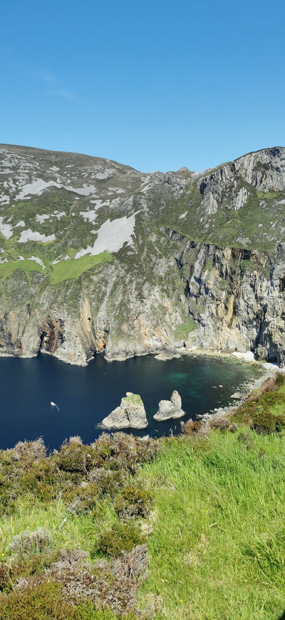
A wall of grey limestone dropping roughly 600 metres into the Atlantic on the Derrybeg Peninsula in southwest Donegal — among the highest sea cliffs in Europe, and only properly seen from the foot of them.
Landzunge · Co. Donegal
The northwestern tip of mainland Ireland, where the Wild Atlantic Way starts — a lighthouse, a tenth-century cross, and the widest view of two seas you will get on this coast.
Malin Head is the far northwestern corner of the island, the point where the Atlantic on one side meets the much gentler water of Lough Foyle on the other. It is the starting point of the Wild Atlantic Way, and the first place most people drive to when they say they are going to follow it, which is fair: it is a proper, uncomplicated introduction to what the west coast is.
The headland is low and rounded rather than dramatic, and the view is the point. From the lighthouse you can look across to Scotland on a clear day, and south along the Donegal coast toward the Blasket and Erris horizons. The lighthouse itself dates from the 1890s and sits on its own small promontory; the grounds around it are open and easy to walk.
Down in the village of Malin, the Malin Cross stands as a reminder that this was a place of real importance in the early medieval period. It is a tenth-century high cross, and the village itself, small as it is, sits at the head of a sheltered harbour where boats have worked the Lough Foyle fishery for centuries.
The strait between Donegal and Scotland is one of the best places on the island to see bottlenose dolphins, and the headland is a good spot for them in calm weather. Seabirds are present year-round, and the open water to the north is the reason the lighthouse was built in the first place.
The light is best in the early morning, when the sun comes over from the east and the headland is in full view. The place is quieter than most of the coast in summer, and the walk around the lighthouse is a pleasant half hour in any season.
Free to visit. The lighthouse grounds are open in daylight; the lighthouse itself is not generally open to the public. There are a couple of small cafés and a shop in the village of Malin. The nearest substantial services are in Buncrana, about twenty minutes back down the coast road.
Übernachten
Stay on the Inishowen Peninsula and turn the journey to Malin Head into more than an out-and-back drive.
Aktuelle Verfügbarkeit für Ihre Reisedaten. Verfügbarkeit und Preise stammen vom Anbieter, nicht von uns.
A wall of grey limestone dropping roughly 600 metres into the Atlantic on the Derrybeg Peninsula in southwest Donegal — among the highest sea cliffs in Europe, and only properly seen from the foot of them.
The small town in south-west Donegal on the N56, named in 2012 by The Irish Times as the best village in which to live in Ireland — a proper base for the Bluestack country and the west coast.
The second-largest town in Donegal, on the Inishowen shore of Lough Swilly — the old O’Dohertys’ seat, O’Doherty’s Keep at the river mouth, and the town that the textile trade built up.
The surf town at the foot of the Doran River, listed by National Geographic in 2012 as one of the world’s top 20 surf towns — and the place where Mícheál Ó Cléirigh compiled the Annals of the Four Masters.