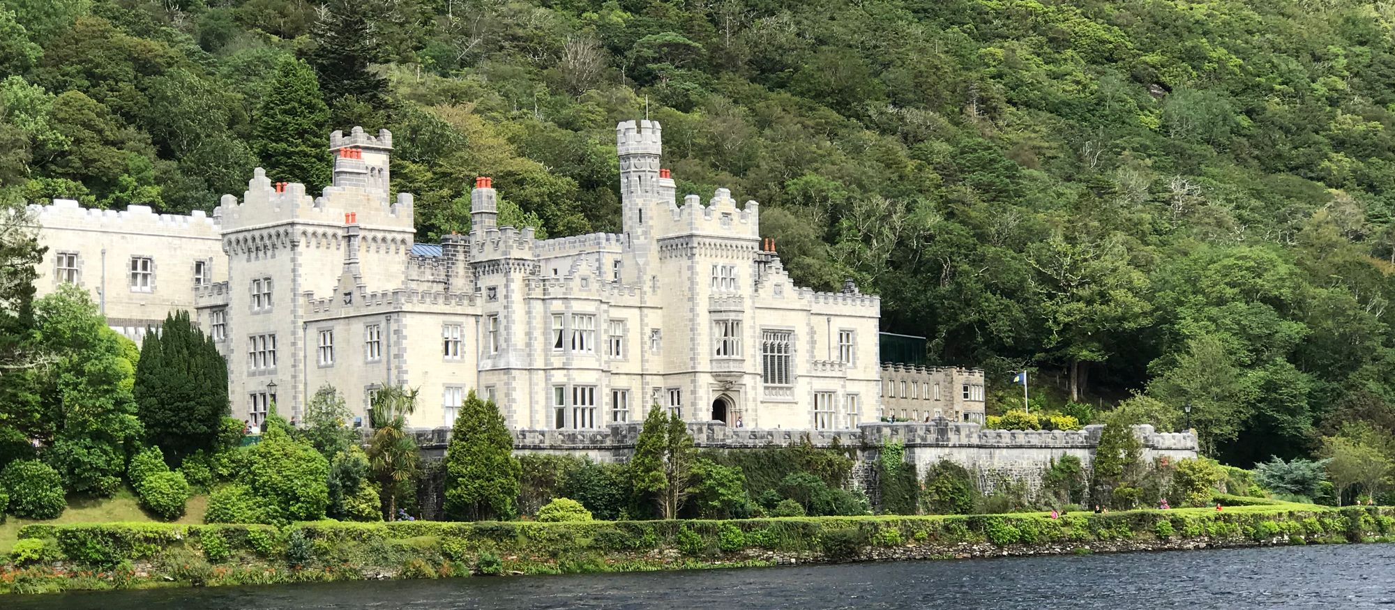
The town
Gort — Gort Inse Guaire or An Gort in Irish — is a town of around 2,800 inhabitants in County Galway, in the west of Ireland. Located near the border with County Clare, the town lies between the Burren and the Slieve Aughty, and it is served by the R458 and R460 regional roads, which connect to the M18 motorway. The town is the place where the Burren country meets the Slieve Aughty country — the karst to the north, the limestone hills to the south, and the market town in between, on the road that runs between the two counties.
The name
Gort is short for the complete Irish name, Gort Inse Guaire — gort, a meadow or field; inse, an island; and Guaire, a proper name — and it translates to “field of Guaire's island”. The name is the town: the field, the island and the man it was named after, and the walk through the town is the walk that carries the name.
The history in the ground
Evidence of ancient settlement in the area includes ringfort, souterrain and holy well sites in the townlands of Gort, Ballyhugh, Cloghnakeava, Cloonnahaha and Lavally. In 2022, a large Bronze Age fort, located in Coole Park near Gort, was dated between 800 and 1200 BCE during archaeological investigation — three thousand years of the place, in the earthworks around the town. The ringforts and the wells are the town's older country, and the walk out to them is the walk that gets done from the town.
Practical
Gort is near the Clare border, between the Burren and the Slieve Aughty, on the R458/R460 with the M18 connection; the townland walks to the ringforts and the wells are out of the town. The town works as the base for the Burren's east edge and the Slieve Aughty country — the fields in the morning, the hills in the afternoon.
🧭 Route plannen