Streek · Co. Mayo

Keem Bay

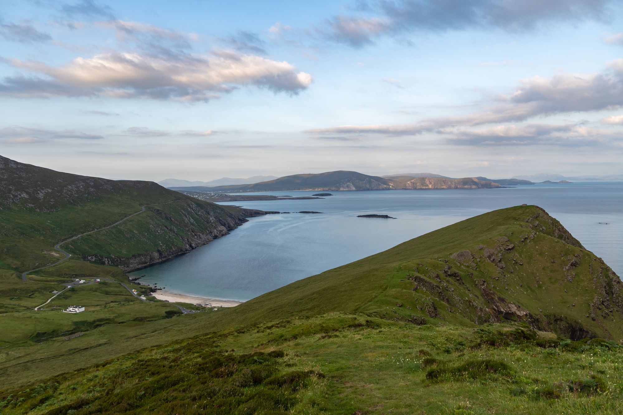
The Blue Flag beach on the west of Achill, past Dooagh — the bay that was the site of a basking shark fishery, that kept a lifeboat station for over a century, and that stood in for Inisherin in the 2022 film.

The bay

Keem Bay (Cuan na Cuime in Irish) is located past Dooagh village in the west of Achill Island in County Mayo, Ireland. It contains a Blue Flag beach — the sand, the water and the headland that makes the bay what it is. The bay was formerly the site of a basking shark fishery, and the history of the place is the history of the bay: the fishery, the boats and the coast that the people of the bay lived on.

The lifeboat

During the 19th century, the British government established a lifeboat station on Keem Beach, and the lifeboat station was operational for over 100 years, providing a vital service for those who lived and worked on the coast. The station is the bay’s monument: the place where the boats went out from, and the walk along the beach is the walk that passes the station on the way to the headland. The bay is the western end of Achill’s west coast, and the light on the water is best before the weather moves in.

The film

The bay was used as a filming location for the 2022 film The Banshees of Inisherin — the film that put the west of Achill on the map for a new audience, and the reason the bay is busier than it was. The walk through the bay is the walk the film used: the beach, the headland and the water, and the village of Dooagh is a short drive back along the coast road.

Practical

Keem Bay is past Dooagh village on the west of Achill, a drive from Westport and Dooagh; the beach is on the bay’s sheltered side. The bay works best in the morning, and the walk along the beach to the headland is the walk to do first.

Bronnen & verificatie

🧭 Route plannen

Waar logeren

Stay on the west of Achill

Dooagh puts Keem Bay, the beach and the headland all within a short drive — the bay is the point.

  • DooaghThe village a short drive back along the coast road — guesthouses and B&Bs on the west of Achill. · 10 min by car
  • Achill (east)The villages on the east of the island — the bigger base, a drive across the island. · 30–40 min by car
See stays on Achill ↗

Bekijk de actuele beschikbaarheid voor je data. Beschikbaarheid en prijzen komen van de aanbieder, niet van ons.

Meer in Mayo

Keem Bay and the cliffs of Achill Island, County Mayo
Eiland · Co. Mayo

Achill Island

The largest island off the west coast, linked to the mainland by a bridge over Achill Sound since 1887 — wild Atlantic headlands, black-pebble bays, a lighthouse with a story, and a landscape that has shaped Irish life for a thousand years.

Free to explore; a small charge at some coastal car parks.· Reserveer A full day is not enough; allow two or three days.
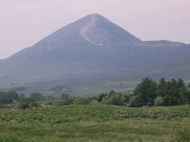
The ascent path to Croagh Patrick in County Mayo, the peak behind
Wandeling · Co. Mayo

Croagh Patrick

The 764-metre mountain near Murrisk, traditionally the place where St Patrick fasted — a broad, windswept summit and one of the great walking and pilgrimage places in the country.

Free to climb.· Reserveer 2–3 hours to the summit and back; 3–4 hours for the round.
Dorp · Co. Mayo

Ballina

“Mouth of the ford” — the town at the mouth of the River Moy near Killala Bay, with the Ox Mountains to the east and the Nephin Mountains to the west, and the Bronze Age Dolmen of the Four Maols behind the station.

The town is free to visit. No admission for the town — the dolmen is on open ground.
Dorp · Co. Mayo

Belmullet

“Mouth of the Mullet” — the coastal Gaeltacht town at the isthmus, with the two bays of Blacksod and Broadhaven linked by Carter’s Canal running through the town, and half the population able to speak Irish.

The town is free to visit. Any specific sites on the Mullet carry their own arrangements — confirm the current prices before travelling.