Neus · Co. Clare
Black Head
The north-western tip of County Clare, above Kilrush Bay at the entrance to Galway Bay — the headland that turns the coast, and the small 1936 lighthouse that the liners’ captains asked for.
Streek · Co. Clare
The third-biggest lake on the island of Ireland, on the Shannon itself — “the red eye” of the Dagda, with Inis Cealtra, the pilgrim island, and 38.6 km of water between the counties.
Lough Derg — historically Lough Dergart, Loch Deirgeirt in Irish — is a freshwater lake in the Shannon River Basin, the third-biggest on the island of Ireland after Lough Neagh and Lough Corrib, and the second largest in the Republic. It is a long, narrow lake, 38.6 km (24 miles) navigable and covering 130 square kilometres, dropping to 36 metres at its deepest, with shores in counties Clare, Galway and Tipperary. It is the southernmost of the three great lakes of the Shannon, the others being Lough Ree and Lough Allen. The towns and villages on its shore — Portumna, Killaloe and Ballina, Dromineer, Terryglass, Mountshannon and Garrykennedy — are the bases that make the lake work.
The lake’s name came from the Irish Loch Deirgdheirc, one of the names of the Dagda, the father of the gods in Irish mythology, and it literally means “red eye”. The island the lake is best known for is Inis Cealtra, Holy Island, where the pilgrim tradition has been kept for centuries — the small island in the middle of the water that the whole lake has been famous for. The water is calm enough to work and wide enough to feel like a sea, and the light on it in the late afternoon is the best of the Shannon.
The lake is a cruising water: navigable over its full length, and popular with cruisers and the slower boats. The shore villages are the way in — a coffee in Killaloe or Portumna, the walk along the shore, and the island if the boat is running. Downstream, close to where the lough empties into the Shannon, are the Doonass falls, the largest fall on the otherwise gently sloping river, and the Ardnacrusha hydroelectric plant, which when it was built in 1927 was the largest in the world.
Allow a day on the lake: the shore villages in the morning, the island or a cruise in the afternoon. Pair it with the Shannon for the full waterway day.
Waar logeren
Stay in Killaloe or Portumna and the lough, the island and the shore are all inside the day.
Bekijk de actuele beschikbaarheid voor je data. Beschikbaarheid en prijzen komen van de aanbieder, niet van ons.
The north-western tip of County Clare, above Kilrush Bay at the entrance to Galway Bay — the headland that turns the coast, and the small 1936 lighthouse that the liners’ captains asked for.
A 15,000-hectare karst landscape in north Clare — a plain of limestone and dry stone walls, a UNESCO Global Geopark, and one of the great walking places in the country.
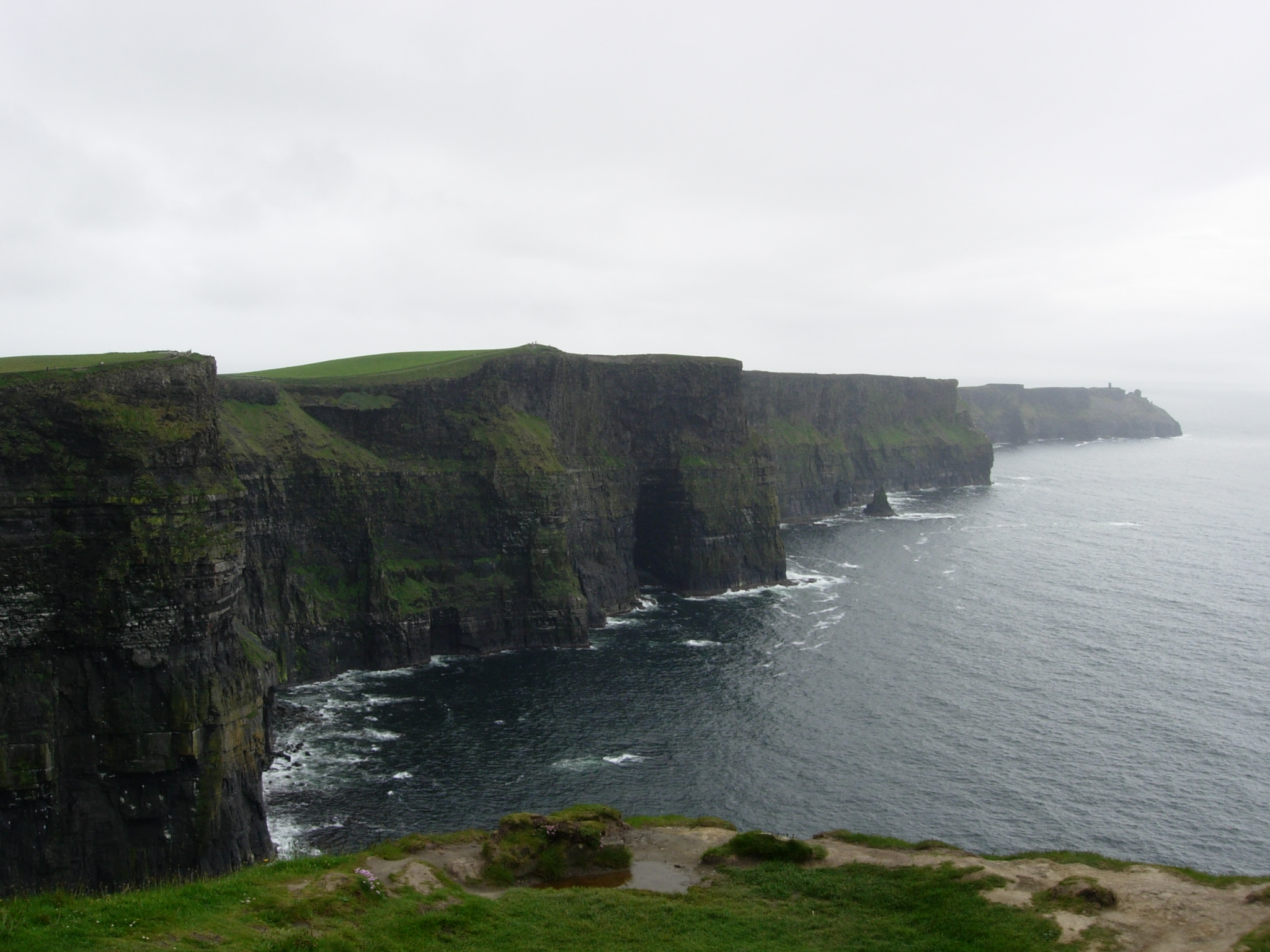
Two kilometres of cliff falling up to 214 metres into the Atlantic, above the village of Doolin — the most visited natural site in the country, and still worth going to, if you know how.