Dorf · Co. Mayo

Cong

“Saint Feichin’s narrows” — the village on an island of streams between Loughs Corrib and Mask, with the underground water that connects the two loughs and the old episcopal see of Cunga Féichin.

The village

Cong (Conga in Irish, from Cúnga Fheichín meaning “Saint Feichin’s narrows”) is a village in County Mayo, Ireland, straddling the border with County Galway. The village is part of a civil parish of the same name. It sits on an island formed by a number of streams that surround it on all sides, on the isthmus connecting Lough Corrib and Lough Mask, near the towns of Headford and Ballinrobe and the villages of Clonbur, the Neale and Cross.

The water under it

Cong is known for its underground streams that connect Lough Corrib with Lough Mask to the north. The village is on the isthmus between the two loughs, and the water runs through it and under it: the streams that form the island, the underground streams that carry the water between the loughs, and the loughs themselves on either side. The walk through Cong is the walk across the isthmus and along the streams, and the light on the water is best in the evening.

The old see

The 1111 Synod of Ráth Breasail included Cong (Cunga Féichin) among the five dioceses it approved for Connacht, but in 1152 the Synod of Kells excluded it from its list and assigned what would be its territory to the archdiocese of Tuam. No longer a residential bishopric, Cunga Féichin is today listed by the Catholic Church as a titular see. Cong was also the home of Anglo-Norman settlements — the town’s history is the history of the isthmus, and the church in the village is the older building of the place.

Practical

Cong is on the isthmus between Lough Corrib and Lough Mask, a short drive from Ballinrobe and Headford; the streams and the loughs are in and around the village. The village works as the base for the two loughs and the Connemara country beyond — the walk in the morning, the lough in the afternoon.

Quellen & Überprüfung

🧭 Route anzeigen

Übernachten

Stay between the two loughs

Cong puts the streams, the loughs and the Connemara country all within a short drive — the isthmus is the point.

  • CongThe village itself — guesthouses and B&Bs on the isthmus, between the loughs. · in the village
  • BallinrobeThe town a short drive east — the bigger base, with the castle and the park. · 15 min by car
See stays in Cong ↗

Aktuelle Verfügbarkeit für Ihre Reisedaten. Verfügbarkeit und Preise stammen vom Anbieter, nicht von uns.

Mehr in Mayo

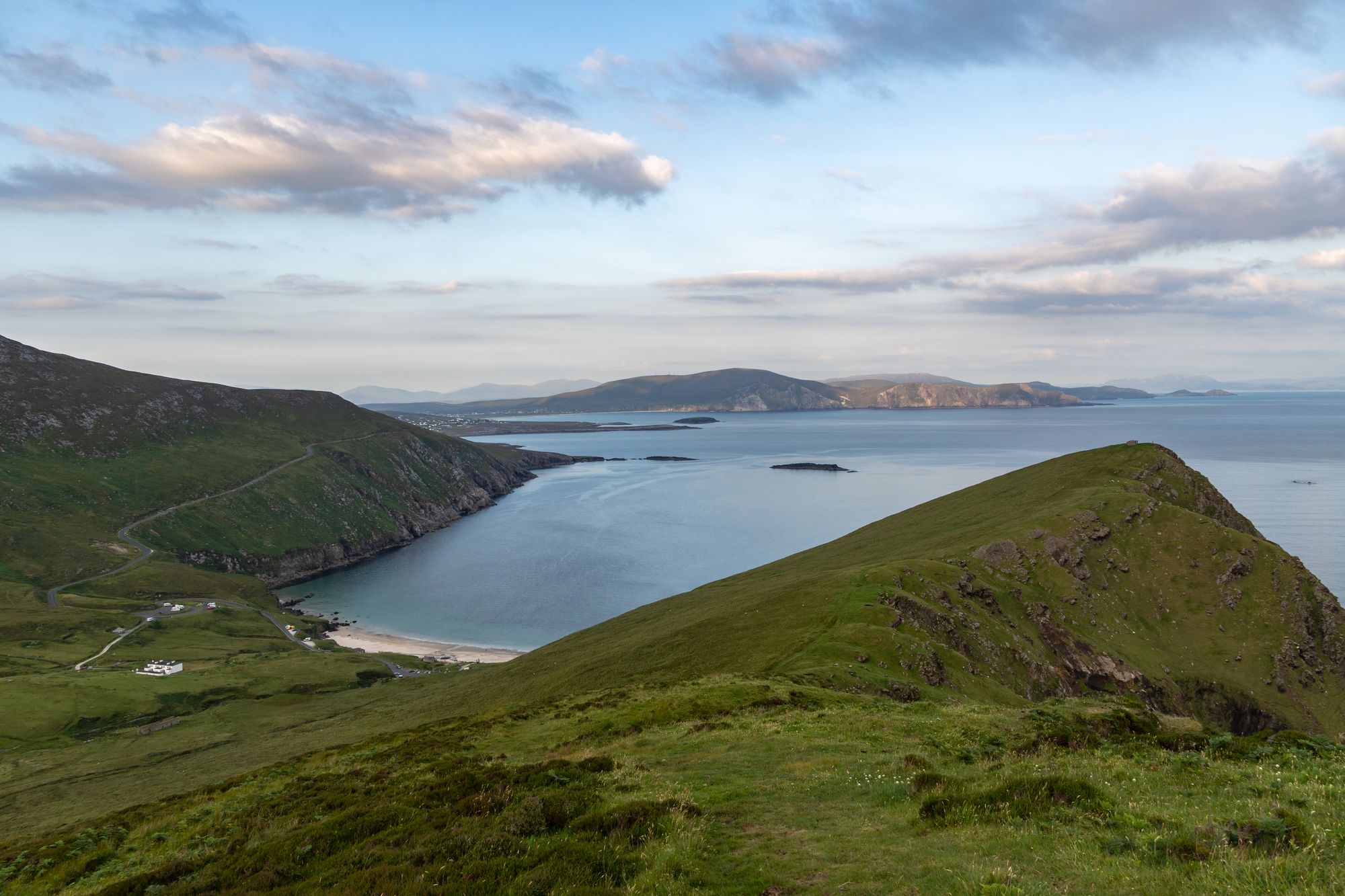
Keem Bay and the cliffs of Achill Island, County Mayo
Insel · Co. Mayo

Achill Island

The largest island off the west coast, linked to the mainland by a bridge over Achill Sound since 1887 — wild Atlantic headlands, black-pebble bays, a lighthouse with a story, and a landscape that has shaped Irish life for a thousand years.

Free to explore; a small charge at some coastal car parks.· Einplanen A full day is not enough; allow two or three days.
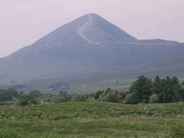
The ascent path to Croagh Patrick in County Mayo, the peak behind
Wanderung · Co. Mayo

Croagh Patrick

The 764-metre mountain near Murrisk, traditionally the place where St Patrick fasted — a broad, windswept summit and one of the great walking and pilgrimage places in the country.

Free to climb.· Einplanen 2–3 hours to the summit and back; 3–4 hours for the round.
Dorf · Co. Mayo

Ballina

“Mouth of the ford” — the town at the mouth of the River Moy near Killala Bay, with the Ox Mountains to the east and the Nephin Mountains to the west, and the Bronze Age Dolmen of the Four Maols behind the station.

The town is free to visit. No admission for the town — the dolmen is on open ground.
Dorf · Co. Mayo

Belmullet

“Mouth of the Mullet” — the coastal Gaeltacht town at the isthmus, with the two bays of Blacksod and Broadhaven linked by Carter’s Canal running through the town, and half the population able to speak Irish.

The town is free to visit. Any specific sites on the Mullet carry their own arrangements — confirm the current prices before travelling.