Dorf · Co. Mayo

Foxford

“Mouth of the waterfall” — the town on the River Moy between the Nephin and Ox Mountains, with the 86-km Foxford Way around it and the woollen mills that have made its blankets since 1892.

The town

Foxford (Béal Easa in Irish, meaning “mouth of the waterfall”) is a town 16 km south of Ballina in County Mayo, Ireland. It is on the N26 road between Swinford and Ballina and has a railway station served by trains between Manulla Junction and Ballina. The name Foxford comes from the Irish Béal an Easa, meaning “mouth of the waterfall” — the name previously referred to a large fox-shaped rock at a ford by the town, and this may be the same rock as “Cromwell’s Rock”.

The river and the mountains

Foxford lies on the River Moy, a salmon-fishing river, close to Lough Conn and Lough Cullin and between the Nephin and Ox Mountains. The river is the town’s front garden: the Moy runs through it, the lakes are at its back, and the two mountain ranges stand on either side. The Foxford Way is an 86-km waymarked tourist trail that circles Foxford, taking in the Ox Mountains, bogland, archaeological sites, lakeshores and river banks — the walk that gets done out of the town, and the reason the town is a hillwalking and walking base.

The mills

Agnes Morrogh Bernard founded a convent and started a water-powered woollen mill here in 1892, and the Foxford Woollen Mills are known for producing characteristic wool blankets. The mills are the town’s industry and its landmark: the water power, the wool and the blankets, and the walk through the town is the walk that passes the mill on the way to the river.

Practical

Foxford is 16 km south of Ballina on the N26, on the River Moy between the Nephin and Ox Mountains; the Foxford Way starts in the town. The town works as the base for the Moy valley, the lakes and the two ranges — the walk in the morning, the river in the afternoon.

Quellen & Überprüfung

🧭 Route anzeigen

Übernachten

Stay on the Moy

Foxford puts the river, the lakes and the two mountain ranges all within a walk — the Foxford Way is the point.

  • FoxfordThe town itself — guesthouses and B&Bs on the River Moy. · in the town
  • BallinaThe town at the mouth of the Moy, 16 km north — the bigger base. · 15 min by car
See stays in Foxford ↗

Aktuelle Verfügbarkeit für Ihre Reisedaten. Verfügbarkeit und Preise stammen vom Anbieter, nicht von uns.

Mehr in Mayo

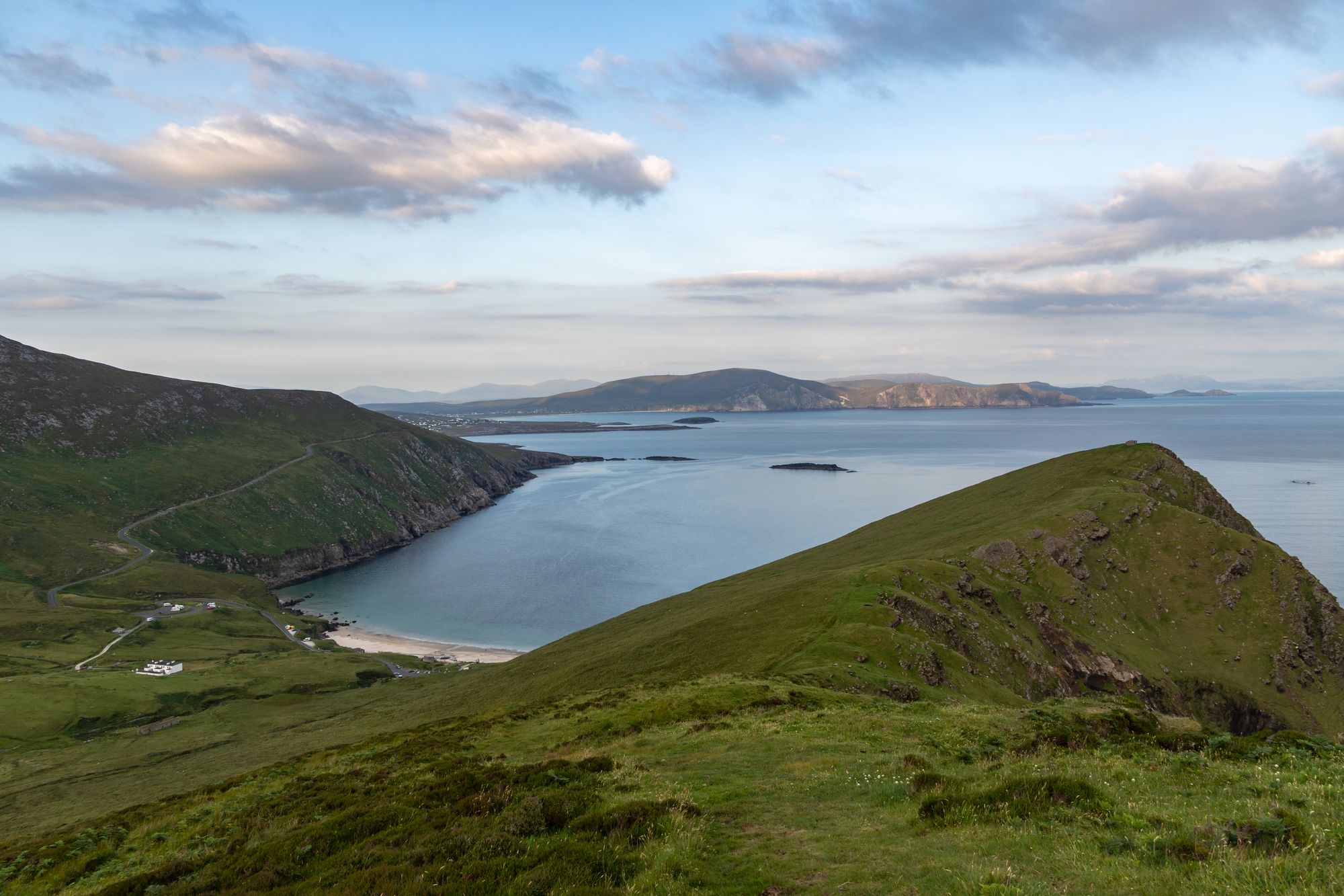
Keem Bay and the cliffs of Achill Island, County Mayo
Insel · Co. Mayo

Achill Island

The largest island off the west coast, linked to the mainland by a bridge over Achill Sound since 1887 — wild Atlantic headlands, black-pebble bays, a lighthouse with a story, and a landscape that has shaped Irish life for a thousand years.

Free to explore; a small charge at some coastal car parks.· Einplanen A full day is not enough; allow two or three days.
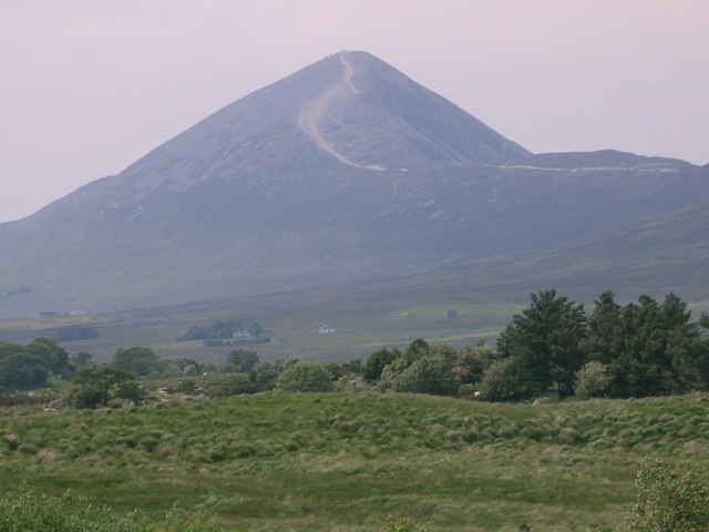
The ascent path to Croagh Patrick in County Mayo, the peak behind
Wanderung · Co. Mayo

Croagh Patrick

The 764-metre mountain near Murrisk, traditionally the place where St Patrick fasted — a broad, windswept summit and one of the great walking and pilgrimage places in the country.

Free to climb.· Einplanen 2–3 hours to the summit and back; 3–4 hours for the round.
Dorf · Co. Mayo

Ballina

“Mouth of the ford” — the town at the mouth of the River Moy near Killala Bay, with the Ox Mountains to the east and the Nephin Mountains to the west, and the Bronze Age Dolmen of the Four Maols behind the station.

The town is free to visit. No admission for the town — the dolmen is on open ground.
Dorf · Co. Mayo

Belmullet

“Mouth of the Mullet” — the coastal Gaeltacht town at the isthmus, with the two bays of Blacksod and Broadhaven linked by Carter’s Canal running through the town, and half the population able to speak Irish.

The town is free to visit. Any specific sites on the Mullet carry their own arrangements — confirm the current prices before travelling.