Neus · Co. Donegal
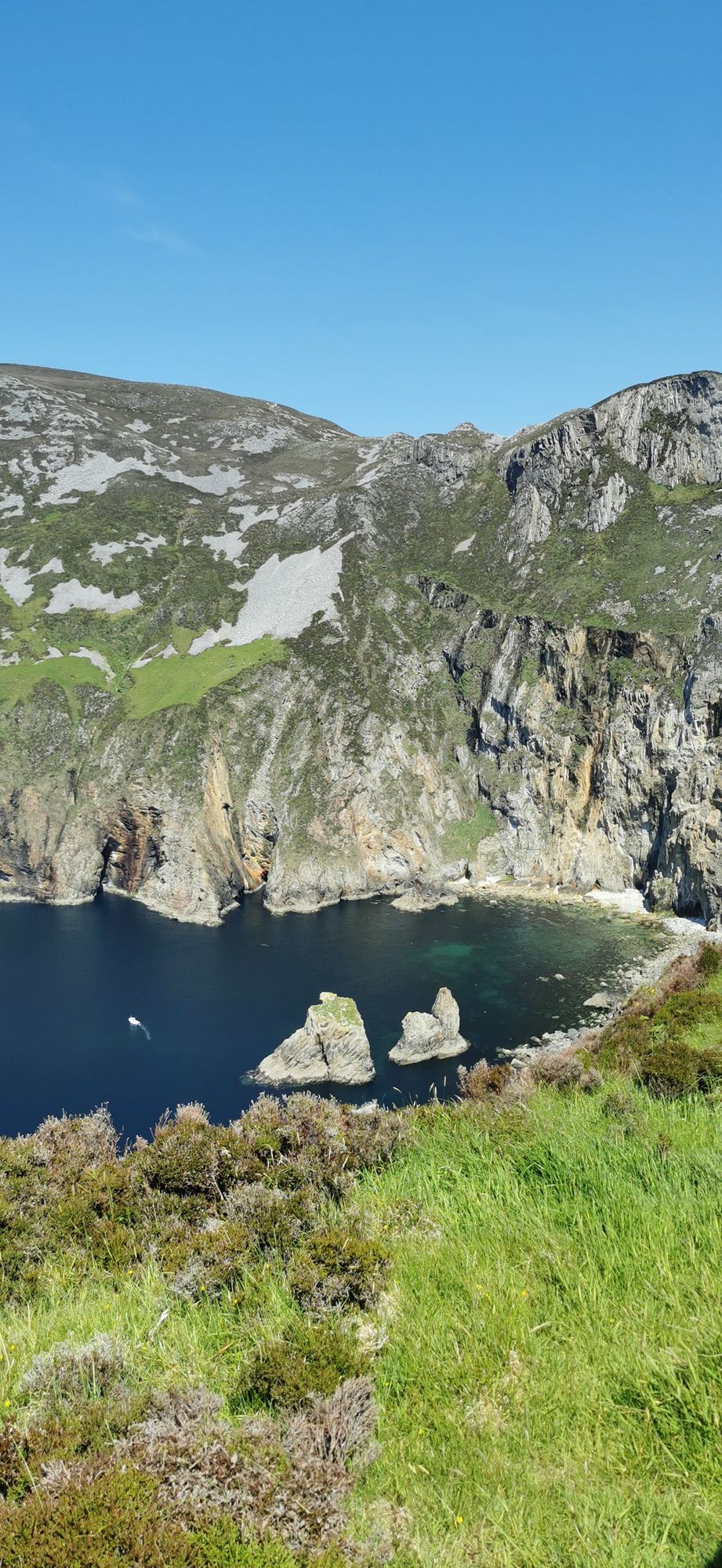
Slieve League
A wall of grey limestone dropping roughly 600 metres into the Atlantic on the Derrybeg Peninsula in southwest Donegal — among the highest sea cliffs in Europe, and only properly seen from the foot of them.
Wandeling · Co. Donegal
The 751-metre mountain above Gweedore — the highest peak in County Donegal and the southernmost of the Seven Sisters, with the Poisoned Glen at its foot and the whole Derryveagh country spread below it.
Errigal is a 751-metre mountain near Gweedore in County Donegal, the tallest peak of the Derryveagh Mountains and the tallest peak in the county. It is also the most southern and the highest of the mountain chain the locals call the Seven Sisters, the other six being Muckish, Crocknalaragagh, Aghla Beg, Ardloughnabrackbaddy, Aghla More and Mackoght. The mountain is the one the rest of the range is measured against, and the walk to it is the proper day out in the Derryveagh country.
The standard route climbs from the Poisoned Glen on the mountain’s north side, through the foothills and up the face to the top, and the way up is as good as the view from it. The mountain is open ground, and the weather on the top can be a long way from the weather in the village at the foot of it; in a storm the face is closed country, and the difference between a good day and a bad one is the mountain itself. Allow a full day for the round trip, with time on the top.
From the top, the whole Derryveagh country opens out: the Seven Sisters to the north, the Derryveagh range to the west, and the Poisoned Glen and the Dunlewey Lough at the foot of the mountain. The view is the reward for the walk, and the walk is the reason the mountain is the one people come to Donegal to do. The Gaeltacht villages at the foot of it — Gweedore, Dunlewy, Falcarragh — are the bases that make the day work.
Allow a full day: the climb, the time on the top, and the descent. Start early, and check the forecast before setting out — the mountain is the one place in the county where the weather is the whole story.
Waar logeren
Stay in Gweedore and the mountain is a full day, not an expedition.
Bekijk de actuele beschikbaarheid voor je data. Beschikbaarheid en prijzen komen van de aanbieder, niet van ons.
A wall of grey limestone dropping roughly 600 metres into the Atlantic on the Derrybeg Peninsula in southwest Donegal — among the highest sea cliffs in Europe, and only properly seen from the foot of them.
A large, remote mountain and glen country in southwest Donegal, centred on Derryveagh National Park — one of the wildest areas of lowland and mountain on the west coast.
The northwestern tip of mainland Ireland, where the Wild Atlantic Way starts — a lighthouse, a tenth-century cross, and the widest view of two seas you will get on this coast.