Neus · Co. Donegal
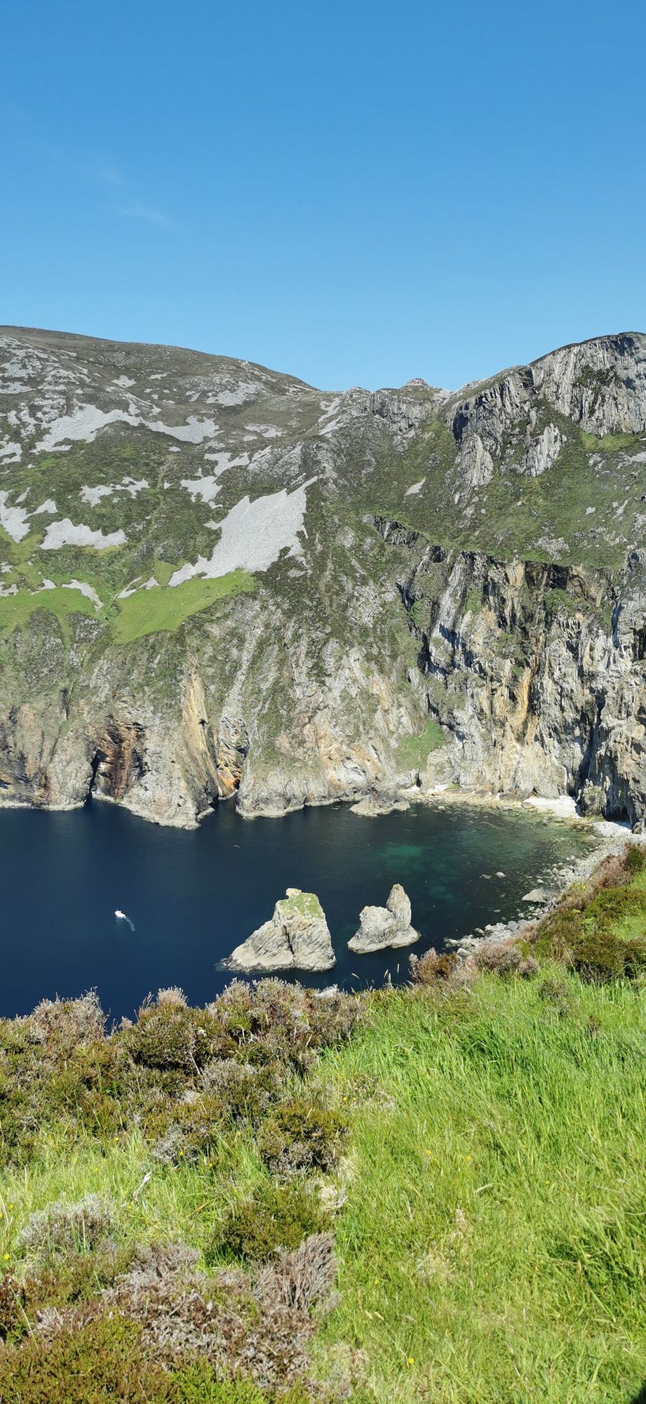
Slieve League
A wall of grey limestone dropping roughly 600 metres into the Atlantic on the Derrybeg Peninsula in southwest Donegal — among the highest sea cliffs in Europe, and only properly seen from the foot of them.
Dorp · Co. Donegal
The small village on the N56 midway between Donegal town and Killybegs — the crossroads of the south-west coast road, with the Bluestack country behind it and the bay in front.
Inver is a small village in County Donegal, on the N56 national secondary road midway between Donegal town to the east and Killybegs to the west. It is also a civil parish in the barony of Banagh, and the village sits at the point where the coast road turns from the bay into the open Atlantic coast. It is the kind of place that exists to be passed through and stopped in: the shops, the fuel, the pub, and the coast all inside the same short walk.
The N56 through the village is the south-west coast road in its proper form: the bay on one side, the Bluestack country on the other, and the villages and the headlands between them. The drive from Inver to Killybegs is the best stretch of the road — the water, the headlands, the small settlements, and the light on the coast in the late afternoon. The village is the base that makes the drive easy, and the stop that does not need a reason.
Behind the village, the country rises into the Bluestack Mountains, and the walks from the village into that country are the other half of the day: short enough for a morning, long enough to be worth the drive, and better before the wind builds. The village is the natural start for anyone who wants the coast and the mountain in the same day.
Allow a day: the coast road in the morning, a Bluestack walk in the afternoon. Pair it with Ardara to the south-east for a full touring day.
Waar logeren
Stay in the village and the coast, the Bluestacks and Killybegs are all inside the day.
Bekijk de actuele beschikbaarheid voor je data. Beschikbaarheid en prijzen komen van de aanbieder, niet van ons.
A wall of grey limestone dropping roughly 600 metres into the Atlantic on the Derrybeg Peninsula in southwest Donegal — among the highest sea cliffs in Europe, and only properly seen from the foot of them.
A large, remote mountain and glen country in southwest Donegal, centred on Derryveagh National Park — one of the wildest areas of lowland and mountain on the west coast.
The northwestern tip of mainland Ireland, where the Wild Atlantic Way starts — a lighthouse, a tenth-century cross, and the widest view of two seas you will get on this coast.