Neus · Co. Donegal
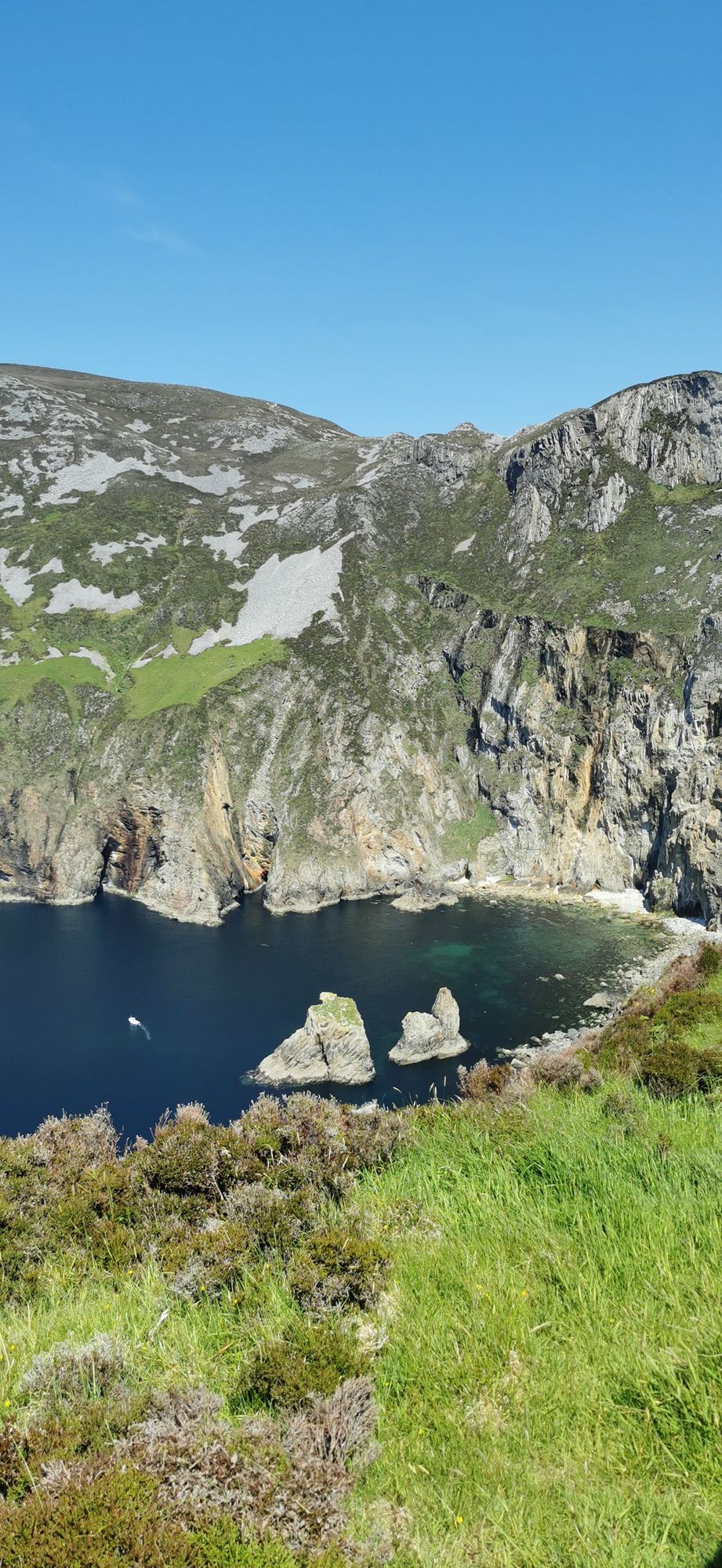
Slieve League
A wall of grey limestone dropping roughly 600 metres into the Atlantic on the Derrybeg Peninsula in southwest Donegal — among the highest sea cliffs in Europe, and only properly seen from the foot of them.
Wandeling · Co. Donegal
The flat-topped mountain of the Derryveagh range — 667 m, second of the Seven Sisters — with a summit cairn over a Bronze Age court tomb and a quartz-mining history written into its northern face.
Muckish (an Mhucais in Irish, meaning “the pig’s back”) is a distinctive flat-topped mountain in the Derryveagh Mountains of County Donegal. At 667.1 metres, it is the third-highest peak of the Derryveagh range and the 163rd highest mountain in Ireland, and it is the most northern and second highest of the chain the locals call the Seven Sisters — Muckish, Crocknalaragagh, Aghla Beg, Ardloughnabrackbaddy, Aghla More, Mackoght and Errigal. The flat top is the giveaway: from a distance the summit looks cut off, and the walk to it is as good as the view from it.
The northern side carries the mountain’s other history: high-grade quartz sand was mined on the flanks, the quarry workings are still visible on the north face, and the sand was exported for the manufacture of optical glass. The “Miner’s Path” climbs to the summit up that northern side, following in part the route the quarry workers used. The easier way is from Muckish Gap on the southern side, where the path is gentler and the walk shorter. Either way, the summit plateau is the reward — and on it stands a large cairn, visible from sea level, that marks a Bronze Age court tomb.
The mountain is open ground, and the weather on the top can be a long way from the weather in the village below. It is an easy walk on a good day and a serious one on a bad day, and the difference is the mountain itself. A large metal cross was placed on the summit in 2000, replacing an earlier one — the cairn and the cross make the top a place Donegal has marked for a very long time.
Allow three to four hours for the walk from either side, with time on the plateau. The base villages are on the Derryveagh side of the county; pair it with the national park for a full day.
Waar logeren
Stay in Gweedore or at the park and the mountain is a morning, not an expedition.
Bekijk de actuele beschikbaarheid voor je data. Beschikbaarheid en prijzen komen van de aanbieder, niet van ons.
A wall of grey limestone dropping roughly 600 metres into the Atlantic on the Derrybeg Peninsula in southwest Donegal — among the highest sea cliffs in Europe, and only properly seen from the foot of them.
A large, remote mountain and glen country in southwest Donegal, centred on Derryveagh National Park — one of the wildest areas of lowland and mountain on the west coast.
The northwestern tip of mainland Ireland, where the Wild Atlantic Way starts — a lighthouse, a tenth-century cross, and the widest view of two seas you will get on this coast.