Bouwstuk · Co. Mayo

Nephin

At 806 metres, the highest standalone mountain in Ireland — the second-highest peak in Connacht after Mweelrea, in the centre of Glen Nephin, named in the old tales as one of the twelve chief mountains.

The mountain

Nephin (NAY-FINN; Néifinn in Irish), at 806 metres (2,644 ft), is the highest standalone mountain in Ireland and the second-highest peak in Connacht (after Mweelrea). It is to the west of Lough Conn in County Mayo, and it lies in the centre of Glen Nephin (Gleann Néifinne), a district bounded by Lough Conn to the east, the Windy Gap/Barnageehy to the south, and Birreencorragh mountain to the west.

The name in the old tales

Nephin is mentioned in Cath Maige Tuired (“The Battle of Moytura”) as one of the “twelve chief mountains” of Ireland. In the text it is called Nemthenn, a name that may be related to nemeton, a term for a sacred space in Celtic polytheism. The mountain’s importance may be inferred by the decision at the Synod of Ráth Breasail in 1111 to make Nephin the northern boundary of the diocese of Cong — the mountain was the boundary of the old country, and the walk to it is the walk that goes over that boundary.

The ground under it

Glen Nephin is the district the mountain stands in: the lough to the east, the gap to the south, the mountain to the west, and the blanket bog country of the Nephin range around it. The mountain is the high point of the range, and the walk up it is the big day out of the Glen Nephin country — the lough at the foot, the peak at the top, and the bog and the peaks of the range in between. The weather on the peak is the whole story, and the forecast is the thing to check before setting out.

Practical

Nephin is to the west of Lough Conn, in the centre of Glen Nephin; the walk up it is a full day out, with time on the peak. The mountain is open ground with no cover — check the forecast before setting out, and the bog country is rough underfoot in wet weather.

Bronnen & verificatie

🧭 Route plannen

Waar logeren

Stay at the foot of the range

Ballina or Foxford put the lough, the bog and the peak all within a drive — the full day is the point.

  • BallinaThe town at the mouth of the Moy, a drive to the Glen Nephin country — the bigger base. · 30 min by car
  • FoxfordThe town on the Moy, south of the lough — the other base for the range. · 30 min by car
See stays in the Glen Nephin country ↗

Bekijk de actuele beschikbaarheid voor je data. Beschikbaarheid en prijzen komen van de aanbieder, niet van ons.

Meer in Mayo

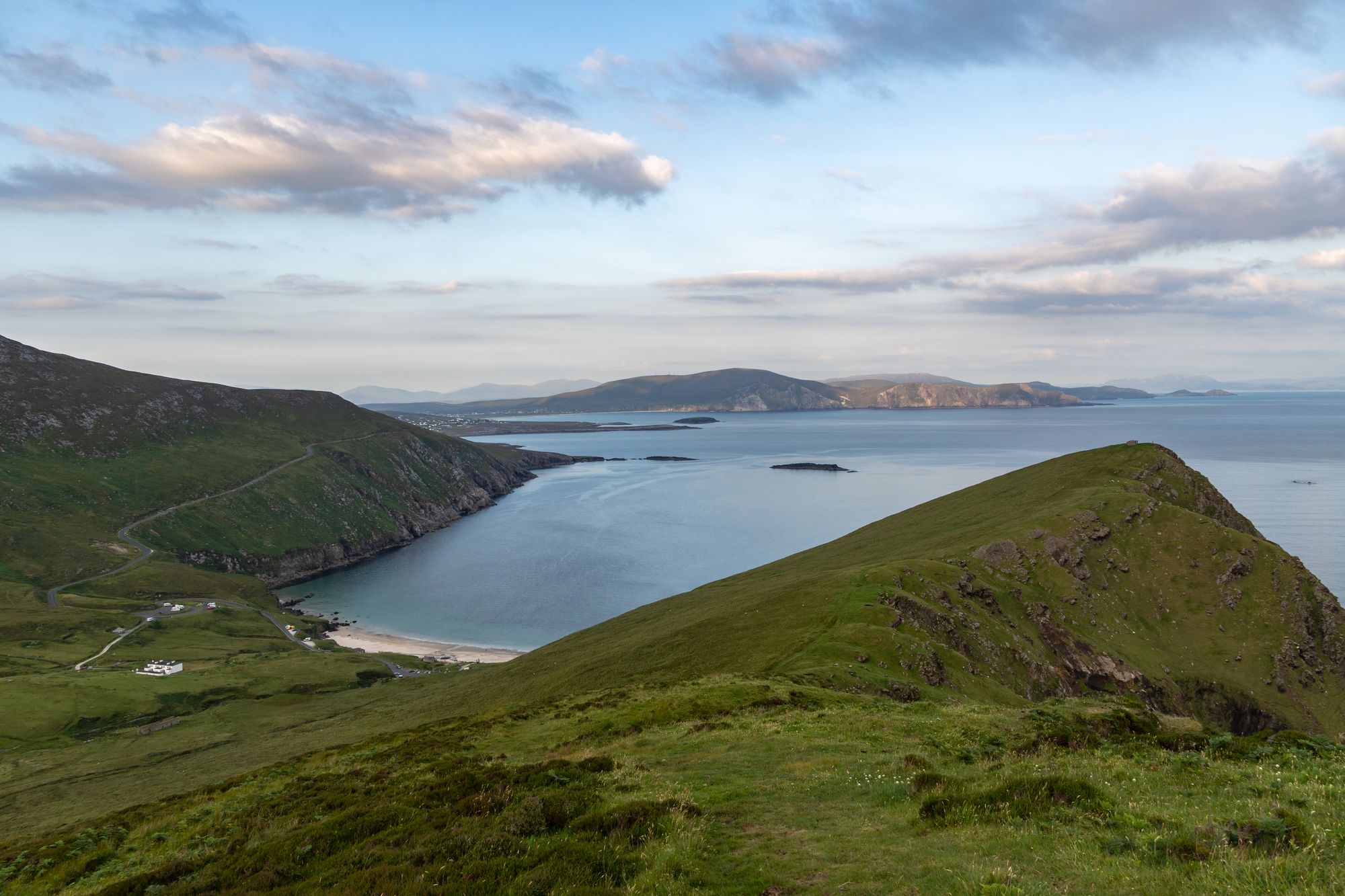
Keem Bay and the cliffs of Achill Island, County Mayo
Eiland · Co. Mayo

Achill Island

The largest island off the west coast, linked to the mainland by a bridge over Achill Sound since 1887 — wild Atlantic headlands, black-pebble bays, a lighthouse with a story, and a landscape that has shaped Irish life for a thousand years.

Free to explore; a small charge at some coastal car parks.· Reserveer A full day is not enough; allow two or three days.
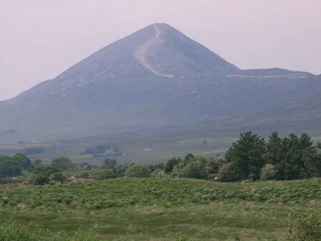
The ascent path to Croagh Patrick in County Mayo, the peak behind
Wandeling · Co. Mayo

Croagh Patrick

The 764-metre mountain near Murrisk, traditionally the place where St Patrick fasted — a broad, windswept summit and one of the great walking and pilgrimage places in the country.

Free to climb.· Reserveer 2–3 hours to the summit and back; 3–4 hours for the round.
Dorp · Co. Mayo

Ballina

“Mouth of the ford” — the town at the mouth of the River Moy near Killala Bay, with the Ox Mountains to the east and the Nephin Mountains to the west, and the Bronze Age Dolmen of the Four Maols behind the station.

The town is free to visit. No admission for the town — the dolmen is on open ground.
Dorp · Co. Mayo

Belmullet

“Mouth of the Mullet” — the coastal Gaeltacht town at the isthmus, with the two bays of Blacksod and Broadhaven linked by Carter’s Canal running through the town, and half the population able to speak Irish.

The town is free to visit. Any specific sites on the Mullet carry their own arrangements — confirm the current prices before travelling.