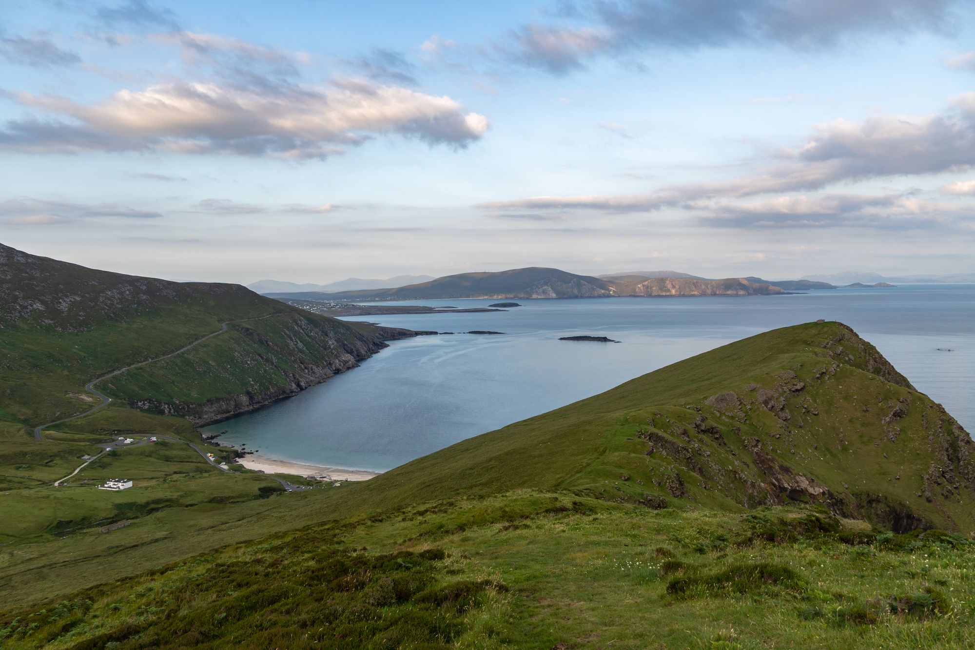
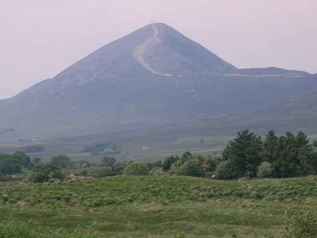
The mountain
Nephin (NAY-FINN; Néifinn in Irish), at 806 metres (2,644 ft), is the highest standalone mountain in Ireland and the second-highest peak in Connacht (after Mweelrea). It is to the west of Lough Conn in County Mayo, and it lies in the centre of Glen Nephin (Gleann Néifinne), a district bounded by Lough Conn to the east, the Windy Gap/Barnageehy to the south, and Birreencorragh mountain to the west.
The name in the old tales
Nephin is mentioned in Cath Maige Tuired (“The Battle of Moytura”) as one of the “twelve chief mountains” of Ireland. In the text it is called Nemthenn, a name that may be related to nemeton, a term for a sacred space in Celtic polytheism. The mountain’s importance may be inferred by the decision at the Synod of Ráth Breasail in 1111 to make Nephin the northern boundary of the diocese of Cong — the mountain was the boundary of the old country, and the walk to it is the walk that goes over that boundary.
The ground under it
Glen Nephin is the district the mountain stands in: the lough to the east, the gap to the south, the mountain to the west, and the blanket bog country of the Nephin range around it. The mountain is the high point of the range, and the walk up it is the big day out of the Glen Nephin country — the lough at the foot, the peak at the top, and the bog and the peaks of the range in between. The weather on the peak is the whole story, and the forecast is the thing to check before setting out.
Practical
Nephin is to the west of Lough Conn, in the centre of Glen Nephin; the walk up it is a full day out, with time on the peak. The mountain is open ground with no cover — check the forecast before setting out, and the bog country is rough underfoot in wet weather.
🧭 Route anzeigen