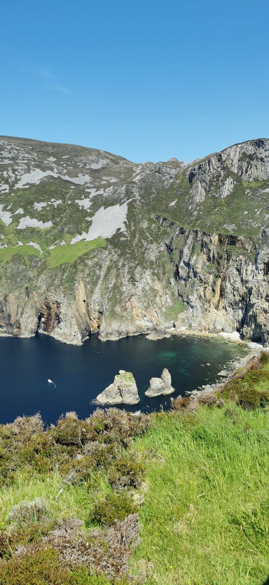
Landzunge · Co. Donegal
Slieve League
A wall of grey limestone dropping roughly 600 metres into the Atlantic on the Derrybeg Peninsula in southwest Donegal — among the highest sea cliffs in Europe, and only properly seen from the foot of them.
Dorf · Co. Donegal
A Gaeltacht village in the Cloughaneely district of north-west Donegal — three kilometres from Falcarragh, with the Errigal country behind it and Irish the everyday language.
Gortahork — Gort an Choirce or Gort a’ Choirce in Irish, anglicised as Gortahork — is a village and townland in the north-west of County Donegal, a Gaeltacht community where Irish is the main language spoken in the area. Along with Falcarragh, it forms part of the district known as Cloughaneely, and the nearest town is Falcarragh, three kilometres to the north-east. It is the smallest of the Donegal village records in this guide, and the point is exactly that: a working Irish-speaking village, not a destination that needs one.
Cloughaneely is the country that matters: the townlands, the small settlements and the walks that run between the villages and the foothills of Errigal. Gortahork sits in it rather than in front of it, and the day is spent the same way — a walk in the glens, a coffee in Falcarragh, and the village at the end of it. The language is the thing that holds the place together, and it is the reason the village is worth the stop even when there is nothing else on the agenda.
The village is at the foot of the Errigal country, and the walks from it into that country are the other half of the day: short enough for a morning, long enough to be worth the drive, and better before the wind builds. The mountain itself is a separate record in this guide; the village is the base that makes the approach easy.
Allow a morning: the village, the walk, and Falcarragh for the coffee. Pair it with the Errigal walk for a full day from the same base.
Übernachten
Stay in Falcarragh or Gweedore and the village, the glens and Errigal are all inside the day.
Aktuelle Verfügbarkeit für Ihre Reisedaten. Verfügbarkeit und Preise stammen vom Anbieter, nicht von uns.
A wall of grey limestone dropping roughly 600 metres into the Atlantic on the Derrybeg Peninsula in southwest Donegal — among the highest sea cliffs in Europe, and only properly seen from the foot of them.
A large, remote mountain and glen country in southwest Donegal, centred on Derryveagh National Park — one of the wildest areas of lowland and mountain on the west coast.
The northwestern tip of mainland Ireland, where the Wild Atlantic Way starts — a lighthouse, a tenth-century cross, and the widest view of two seas you will get on this coast.