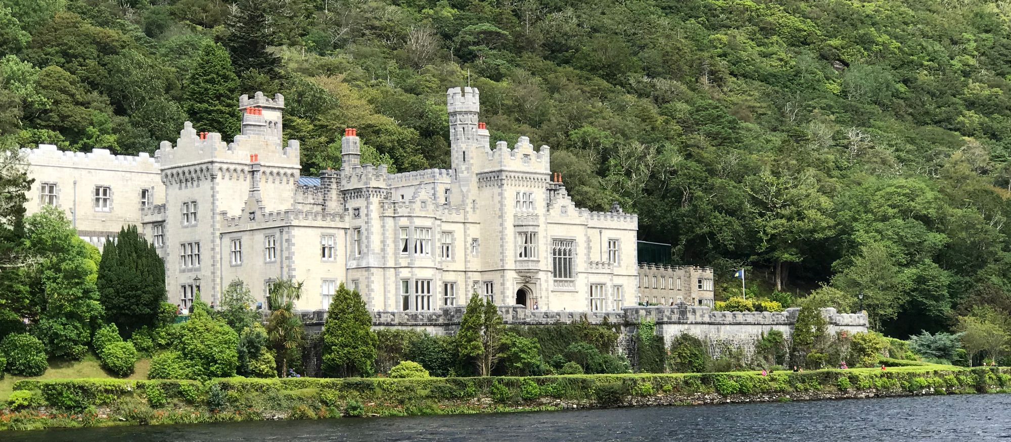
The lough
Lough Corrib (Loch Coirib in Irish) is a lake in the west of Ireland. The River Corrib — the Galway River — connects the lake to the sea at Galway, and it is the largest lake within the Republic of Ireland and the second largest on the island, after Lough Neagh. It covers 176 square kilometres and lies mostly in County Galway, with a small area of its northeast corner in County Mayo. The lough is the water of the whole west: Galway at its mouth, the Corrib running through the city, and the Connemara country at its head.
The first canal
The first canal on the island of Ireland was cut in the 12th century: known as the Friar's Cut, it allowed boats to pass from Lough Corrib to the sea at Galway. The Cut is the lough's oldest engineering — the place where the river and the lough meet at the city's edge, and the reason the lough has worked as a waterway since the middle ages. The walk along the Corrib from the city to the water is the walk that takes in the Cut and the bay beyond it.
The birds and the designation
Lough Corrib was designated a Ramsar site in June 1996, and it has also been designated a Special Area of Conservation — the wetland of the west, with the waders, the waterfowl and the breeding grounds that the designations protect. The lough is the country the birds winter in, and the morning light on the water, with the flocks on the shallows, is the sight the coast is known for. The name Loch Coirib is a corruption of Loch Oirbsean, according to placename lore — the old water, and the name that the city carries from it.
Practical
Lough Corrib is between Galway city and the Connemara country, its head in the northwest; the shore walks run from the city to the lough's edge, and the islands in the water are the days out. The lough is open water — check the conditions before the boat, and the shore is rough underfoot in wet weather.
🧭 Route anzeigen