The bay
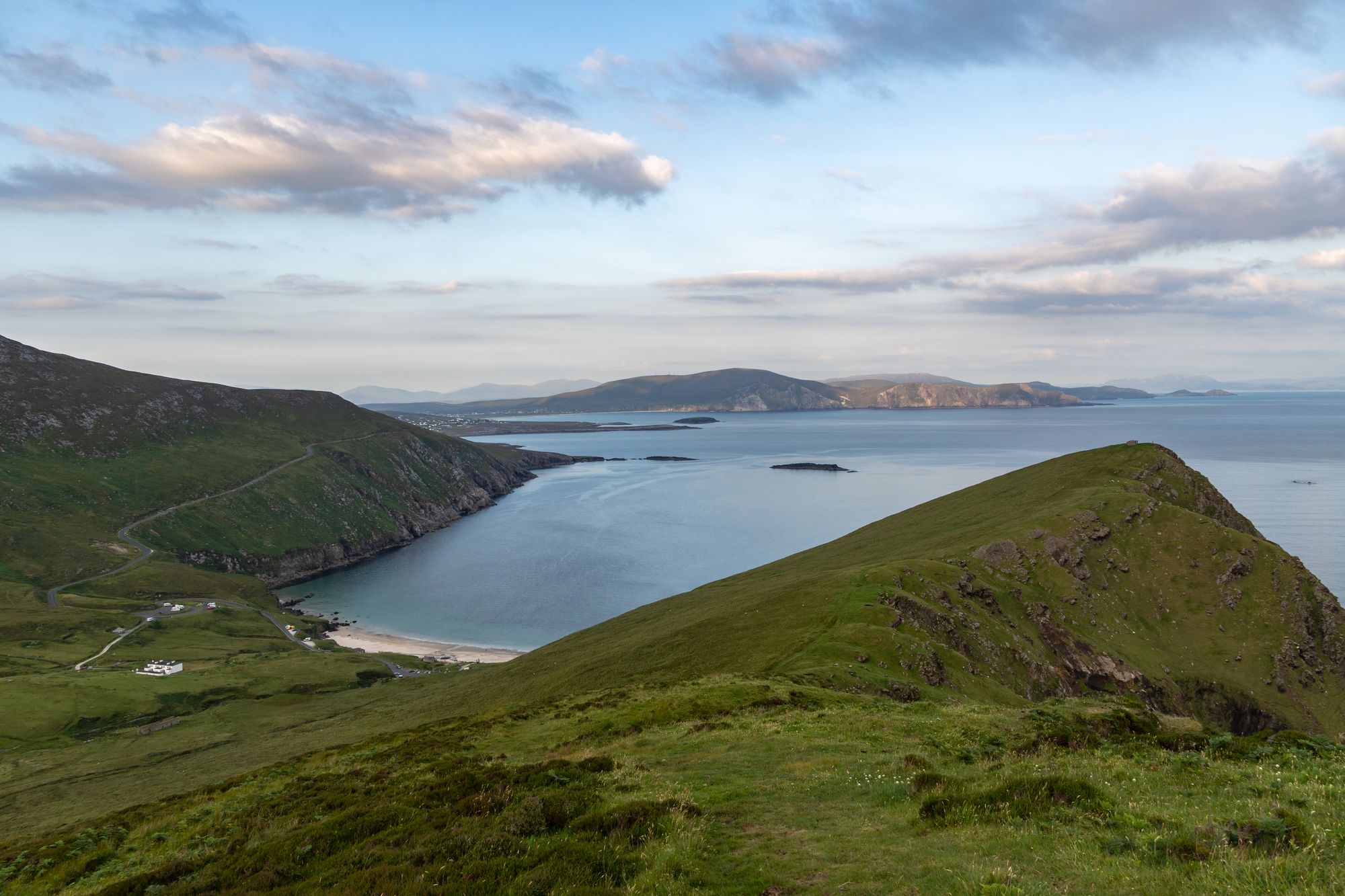
Killala Bay (Cuan Chill Ala in Irish) is a bay on the west coast of Ireland, between County Mayo and County Sligo, with Kilcummin Head to the west and Lenadoon Point to the east, which is the estuary for the River Moy. The village of Killala is at the southwest corner of the bay, and Bartragh Island lies in the centre of it.
The water in it
The bay is on the west coast of Ireland between Mayo and Sligo, between Kilcummin Head to the west and Lenadoon Point to the east, and it is the estuary for the River Moy. The bay is an extension of the estuary of the Moy, with the deep waters of the continental shelf close to the shore — the water in the bay is the Atlantic in its proper form: the depth, the tide and the headlands, with the river running out to it from the south. The village of Killala sits at the south-west corner, and the light on the water is best in the evening.
The headlands and the island
Kilcummin Head stands to the west and Lenadoon Point to the east, the two points that mark the mouth of the bay, and Bartragh Island lies in the centre of the water between them. The island is the bay’s monument: the place in the middle of the water, and the walk around the bay is the walk that takes in the headlands, the island and the village. The bay is the water country of the Moy valley, and the headlands are the things that break the coast into the bay.
Practical
Killala Bay is on the west coast between Mayo and Sligo, a drive from Ballina and Killala; the headlands and the island are the days out, and the village of Killala is the base. The light on the water is best before the weather moves in, and the tide is the thing to check before the walk.
🧭 Get directions