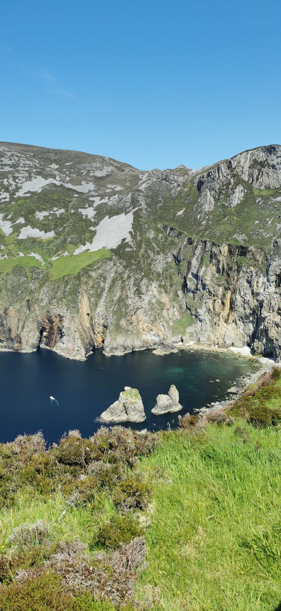
Headland · Co. Donegal
Slieve League
A wall of grey limestone dropping roughly 600 metres into the Atlantic on the Derrybeg Peninsula in southwest Donegal — among the highest sea cliffs in Europe, and only properly seen from the foot of them.
Area · Co. Donegal
The wide north-west bay that three counties share — Donegal, Leitrim and Sligo — with the town of Donegal and the River Eske at its head and the open Atlantic at its back door.
Donegal Bay is the big water in the north-west of Ireland, an inlet bounded on the west by the Atlantic Ocean. Three counties have shorelines on it: Donegal to the north and west, and Leitrim and Sligo to the south. The town of Donegal and the River Eske lie at its head, where the water narrows and the estuary takes over. It is a wide, open, weather-driven water — the kind of bay that sets the pace for the whole coast around it, and the reason the villages on its shore have been fishing and trading for a very long time.
The bay is a touring circuit as much as a single place. From the head at Donegal town, the shore bends west to the cliffs and the Gaeltacht villages, then rounds the Rosses and out to the open Atlantic; the far side belongs to Leitrim and Sligo, with the Lough Eske river country in between. The water is calm enough for boats on a still day and serious enough to keep them off it in a blow, and the light on the bay in the late afternoon is the best in the county.
At the head, the River Eske comes down from the hills and spreads into the estuary, and Donegal town sits on the edge of it. The river is the life of the upper bay — salmon, the old trade, the town’s history — and the walk along the esplanade at the head of the bay is the easiest way to see what the water has meant to this place.
A day on the bay is a drive day: pick the head, the west shore or the far side, and let the road do the rest. The best light is late afternoon on the western shore.
Where to stay
Stay at the head in Donegal town, or on the far side in Sligo — both put the bay inside the day.
See current availability for your dates. Availability and prices come from the accommodation provider, not from us.
A wall of grey limestone dropping roughly 600 metres into the Atlantic on the Derrybeg Peninsula in southwest Donegal — among the highest sea cliffs in Europe, and only properly seen from the foot of them.
A large, remote mountain and glen country in southwest Donegal, centred on Derryveagh National Park — one of the wildest areas of lowland and mountain on the west coast.
The northwestern tip of mainland Ireland, where the Wild Atlantic Way starts — a lighthouse, a tenth-century cross, and the widest view of two seas you will get on this coast.