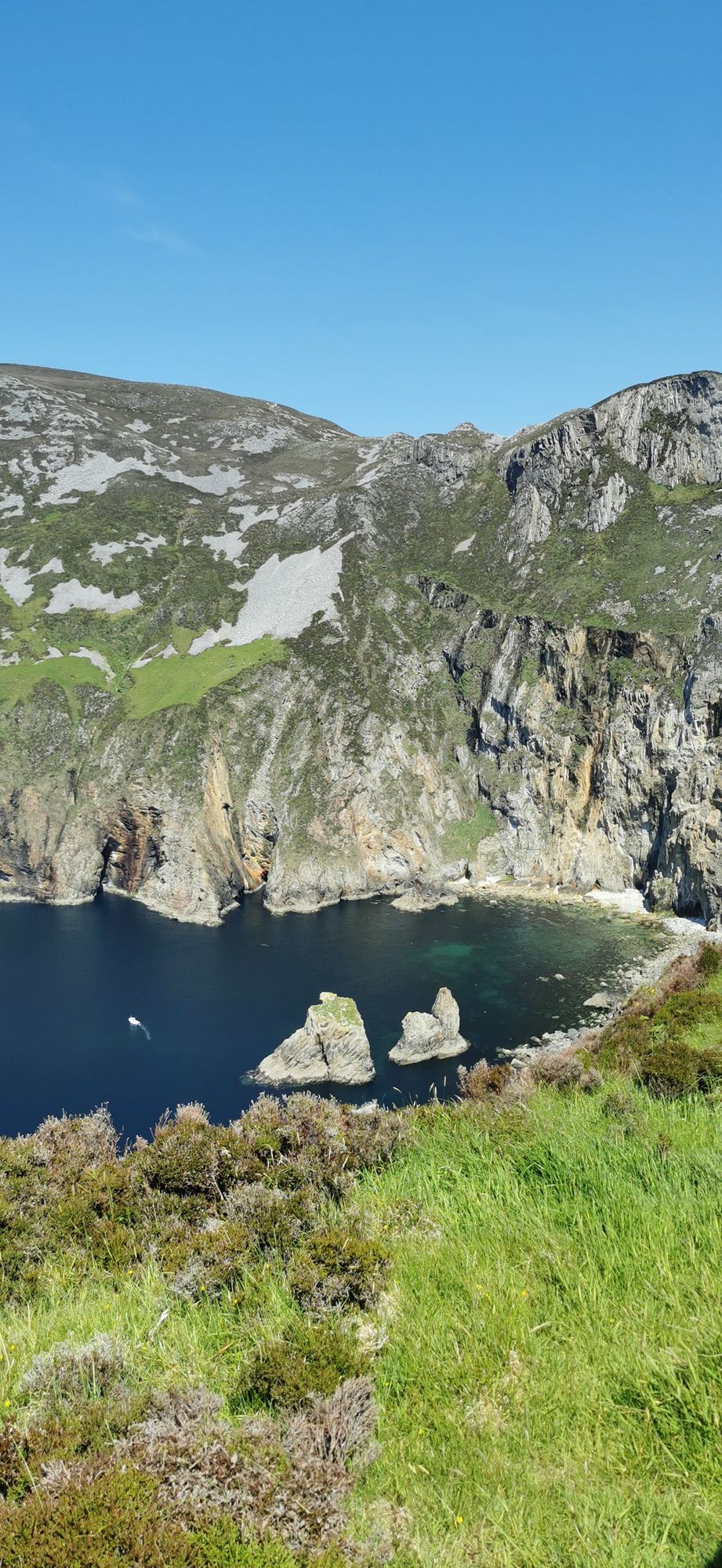
Headland · Co. Donegal
Slieve League
A wall of grey limestone dropping roughly 600 metres into the Atlantic on the Derrybeg Peninsula in southwest Donegal — among the highest sea cliffs in Europe, and only properly seen from the foot of them.
Village · Co. Donegal
A Gaeltacht village at the foot of Errigal in the Poisoned Glen, on the shore of Dunlewey Lough — boat trips from the lakeside centre, the castle ruins on the far shore, and Irish the working language of the street.
Dunlewy (Dún Lúiche in Irish) is a small Gaeltacht village in the Gweedore district in the north-west of County Donegal. It sits in what is known as the Poisoned Glen, at the foot of Errigal and on the shore of Dunlewey Lough, with the Cronaniv Burn running along the southern edge of the village. The setting does most of the work: the mountain on one side, the lough on the other, and a village small enough that you can cross it in minutes and still see both.
The lake is the village’s living room. The Lakeside Centre — Ionad Cois Locha — runs boat trips on the water, and the western shore carries the ruins of Dunlewy Castle, the old seat of the O’Donnells of this country. A walk around the lough is the day’s proper thing to do, with the castle and the mountain doing the talking from the far shore. The water is quiet and shallow at the edges, the kind of place that has been fished and worked for longer than the village has had a name in English.
As a Gaeltacht village, Dunlewy is one of the places in Donegal where Irish is still the working language of the street and the shop. That is not a museum piece: it is a community that keeps its language as its everyday one, and the music, the culture and the sense of place follow from that. It is one of the most intact Irish-speaking villages left in the west.
Allow two to three hours for the lough walk and the centre. The trip from Gweedore is the natural pairing — the two villages make a full day, with the foothills of Errigal between them and the lough at the bottom of it.
Where to stay
A base in Gweedore puts the lough, the glen and the mountain all inside the hour.
See current availability for your dates. Availability and prices come from the accommodation provider, not from us.
A wall of grey limestone dropping roughly 600 metres into the Atlantic on the Derrybeg Peninsula in southwest Donegal — among the highest sea cliffs in Europe, and only properly seen from the foot of them.
A large, remote mountain and glen country in southwest Donegal, centred on Derryveagh National Park — one of the wildest areas of lowland and mountain on the west coast.
The northwestern tip of mainland Ireland, where the Wild Atlantic Way starts — a lighthouse, a tenth-century cross, and the widest view of two seas you will get on this coast.