The barony
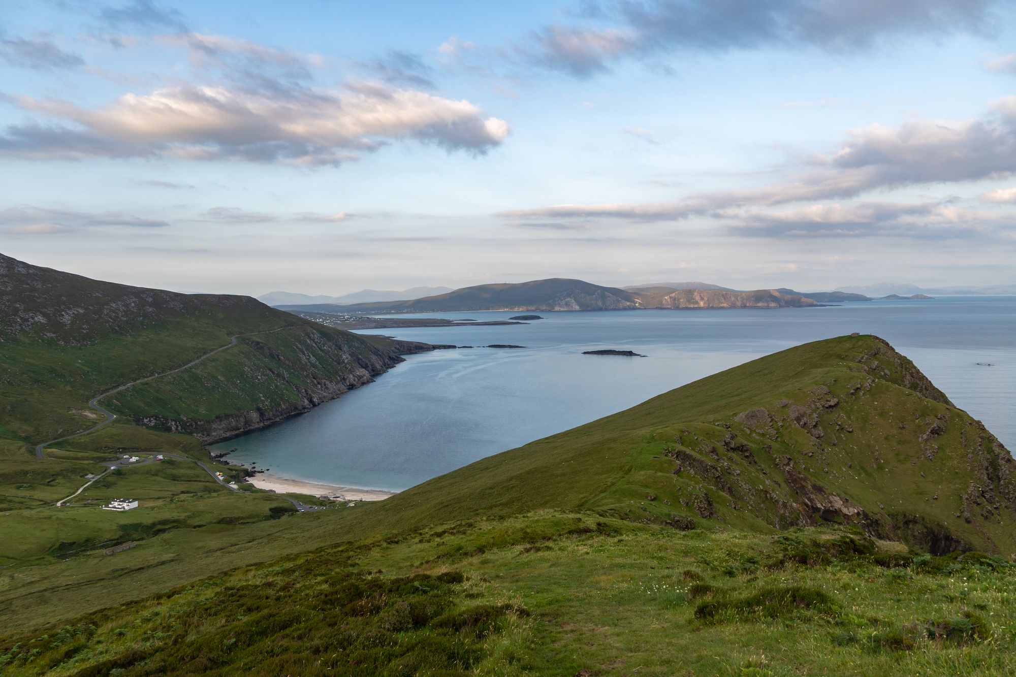
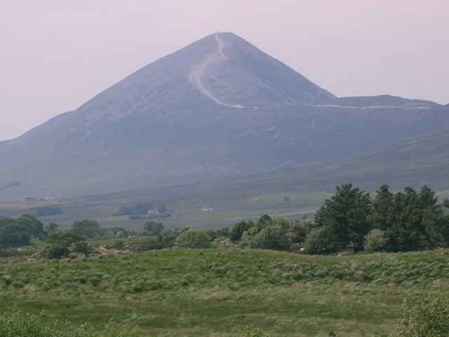
Erris is a barony in northwestern County Mayo in Ireland, consisting of over 230,452 acres (932.61 km²), much of it mountainous blanket bog. It has extensive sea coasts along its west and north boundaries, and its main towns are Belmullet and Bangor Erris. The name Erris derives from the Irish “Iar Ros”, meaning “western promontory”, and the full name is the Iorrais Domnann, after the Fir Bolg tribe, the Fir Domnann. The country is the western end of Mayo: the wild Atlantic on the north, the bays of Broadhaven and Sruth Fada Conn, and Blacksod Bay to the west.
The promontories
Erris’s main promontories are the Doohoma Peninsula, the Mullet Peninsula, Erris Head, the Dún Chiortáin and Dún Chaocháin peninsulas and Benwee Head — the headlands that break the coast into the bays, and the Mullet is the largest of them. The barony is the country that the Wild Atlantic Way runs along at its wildest: the blanket bog, the headlands and the bays, with the villages tucked into the shelter of the water. There are five Catholic parishes in Erris: Kilcommon, Kilmore, Kiltane, Belmullet and Ballycroy, and the parish country is the older country of the barony.
The Gaeltacht
Parts of Erris are in a Gaeltacht area, with first-language speakers of Irish in the following areas of the barony: An Fál Mór, Tamhain na hUltaí, Glais and the surrounding townlands — the Irish-speaking heart of the barony, and the reason the sign on the gate says so. The barony is the place where the Mayo Gaeltacht meets the Atlantic, and the walk through its villages is the walk that gets done before any of the headlands.
Practical
Erris is a drive from Westport and Castlebar, and the barony is big enough that a day is not enough for it: the Mullet on one day, the bays on another, and the villages in between. Belmullet and Bangor Erris are the bases, and the weather on the headlands is the whole story.
🧭 Get directions