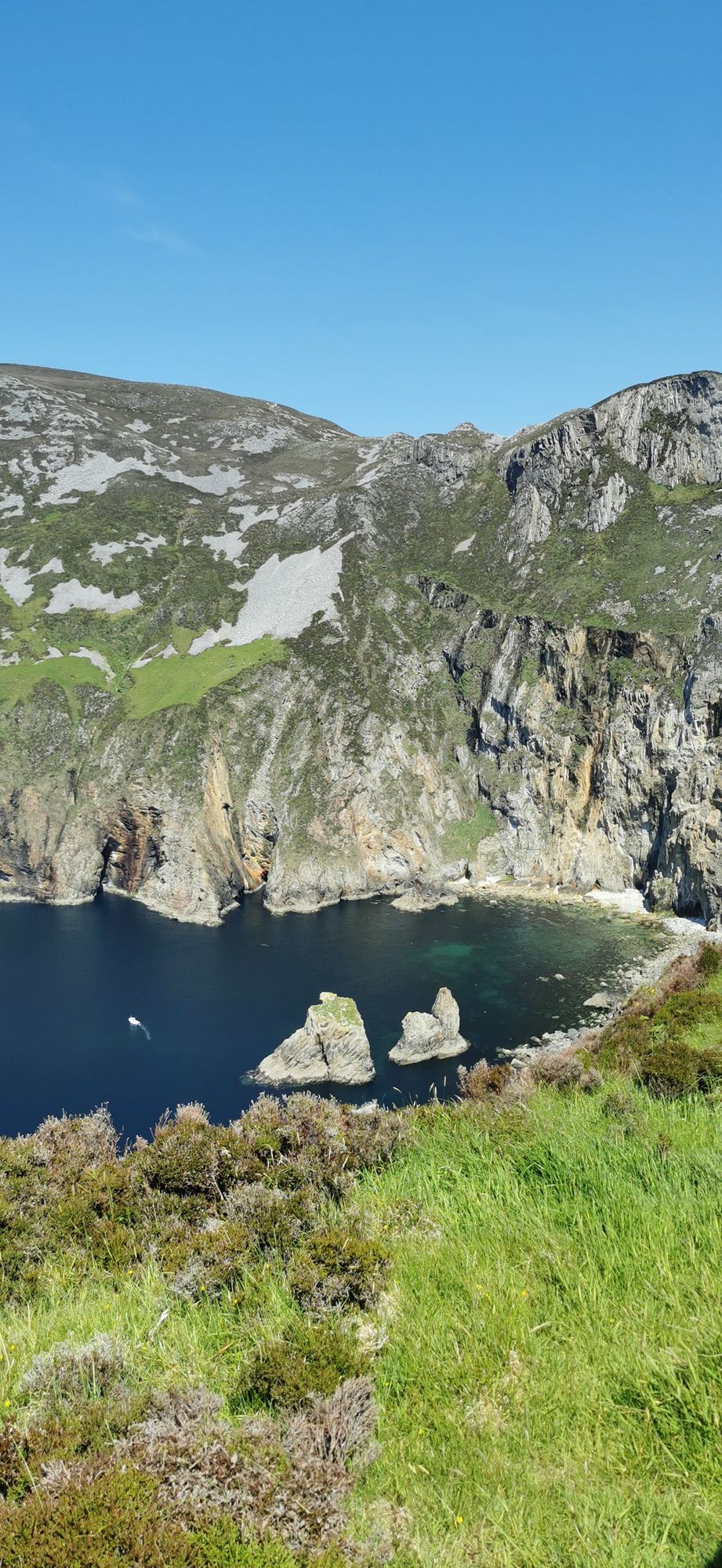
Headland · Co. Donegal
Slieve League
A wall of grey limestone dropping roughly 600 metres into the Atlantic on the Derrybeg Peninsula in southwest Donegal — among the highest sea cliffs in Europe, and only properly seen from the foot of them.
Area · Co. Donegal
The small Atlantic district in the Gaeltacht named for Saint Columba — “the valley of Colm Cille” — with the village of Cashel, long sandy beaches and a coast that keeps its Irish.
Gleann Cholm Cille — Glencolmcille or Glencolumbkille in English — is a small district on the Atlantic coast of south-west County Donegal, a civil parish in the historic barony of Banagh. It takes its name from Saint Colm Cille, the Columba of Iona, and it is in the Gaeltacht: still an Irish-speaking community, though by 2002 only about a third of its residents used Irish on a daily basis. The main settlement is the village of Cashel, and the district is the kind of place where the coast, the valley and the history all sit inside the same hour.
The district’s earliest recorded names were Glend — simply “glen” — and Senglenn, the “old glen”. The name it carries now, “the valley of Colm Cille”, was fixed later, probably in the fifteenth century, and the first full record of it is in Maghnas Ó Domhnaill’s life of Columba of 1532. It is a name that carries a saint’s story in it, and the coast around the village — the beaches, the headlands, the small settlements — is where that story sits.
The district’s Atlantic shore is the point: sandy beaches, the headlands between them, and a sea that does what the sea does on the west coast of Ireland. The walks along the shore are the day’s work — quiet, wide, and better before the afternoon wind builds. The water is the draw and the weather is the rule, and the two make the place.
Cashel is the village to use, and the district pairs with the rest of the Banagh coast — Carndonagh to the north, the glens to the south — for a full touring day. Allow a morning on the beaches and the walk between them.
Where to stay
A base in Carndonagh puts the beaches and the whole Banagh coast inside the day.
See current availability for your dates. Availability and prices come from the accommodation provider, not from us.
A wall of grey limestone dropping roughly 600 metres into the Atlantic on the Derrybeg Peninsula in southwest Donegal — among the highest sea cliffs in Europe, and only properly seen from the foot of them.
A large, remote mountain and glen country in southwest Donegal, centred on Derryveagh National Park — one of the wildest areas of lowland and mountain on the west coast.
The northwestern tip of mainland Ireland, where the Wild Atlantic Way starts — a lighthouse, a tenth-century cross, and the widest view of two seas you will get on this coast.